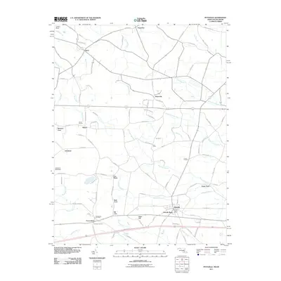
2011 Map of Pittsville
USGS Topo · Published 2011About this map
Pittsville and Parsonsburg anchor this rural landscape on the Delmarva Peninsula's Eastern Shore. The layout is defined by a dense network of watercourses and agricultural crossroads, where small communities like Pepperbox, Whitesville, and Melson developed around local drainage systems. The presence of the Pittsville Post Office and Parsonsburg Post Office indicates the enduring role of these villages as centers for the surrounding farming population.
Find a feature on this map
95 named features on this map. Tap any name to fly to it.
Don’t see what you’re looking for? This feature index may not catch every label — zoom into the map to look around manually.
Map Details
Editions of this 2011 Pittsville Map
This is the sole edition of this map. No revisions or reprints were ever made.
Other maps of this area

1901 · Salisbury
USGS Topo · 1:62,500

1902 · Pittsville
USGS Topo · 1:62,500

1915 · Seaford
USGS Topo · 1:62,500

1917 · Millsboro
USGS Topo · 1:62,500

1938 · Millsboro
USGS Topo · 1:62,500

1942 · Ninepin
USGS Topo · 1:24,000

1942 · Wango
USGS Topo · 1:24,000

1942 · Whaleysville
USGS Topo · 1:24,000

1942 · Salisbury
USGS Topo · 1:24,000

1942 · Delmar
USGS Topo · 1:24,000