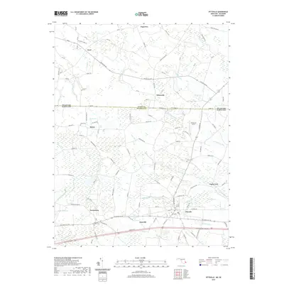
2019 Map of Pittsville
USGS Topo · Published 2019About this map
Pittsville and Parsonsburg anchor the southern reaches of this Delmarva landscape, where the Maryland and Delaware state line bisects rural communities and agricultural fields. The terrain is defined by an intricate network of drainage and wetlands, including Jack White Swamp and Hamlin Swamp, which feed into local waterways like Nassawango Cr and the Aydelotte Br. This 2019 survey documents the enduring rural character of Wicomico and Sussex Counties, capturing small settlements such as Melson and Whitesville along with critical local landmarks. Genealogists will find notable burial sites documented, including the Jerusalem Methodist Cem and Melson Cem. The presence of the Delmarvair Airport and numerous rural roads like Whitesville Rd and Lowes Crossing Rd illustrate the modern transportation grid overlaid upon an older, water-reliant geography of prongs, branches, and ditches.
Find a feature on this map
117 named features on this map. Tap any name to fly to it.
Don’t see what you’re looking for? This feature index may not catch every label — zoom into the map to look around manually.
Map Details
Editions of this 2019 Pittsville Map
This is the sole edition of this map. No revisions or reprints were ever made.
Other maps of this area

1901 · Salisbury
USGS Topo · 1:62,500

1902 · Pittsville
USGS Topo · 1:62,500

1915 · Seaford
USGS Topo · 1:62,500

1917 · Millsboro
USGS Topo · 1:62,500

1938 · Millsboro
USGS Topo · 1:62,500

1942 · Ninepin
USGS Topo · 1:24,000

1942 · Wango
USGS Topo · 1:24,000

1942 · Whaleysville
USGS Topo · 1:24,000

1942 · Salisbury
USGS Topo · 1:24,000

1942 · Delmar
USGS Topo · 1:24,000