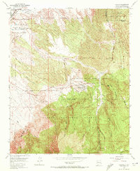
1954 Map of Placitas
USGS Topo · Published 1972About this map
Placitas serves as a central hub in this mid-century survey of the northern Sandia Mountains region, where the high desert meets the edges of the Cibola National Forest. The landscape is a complex mosaic of ancestral land divisions and tribal territories, including the San Felipe Pueblo Grant and the San Antonio De Las Huertas Grant. This era captures a transition from traditional land use to early modern topography, marked by the presence of a Fish Hatchery and several abandoned coal mines that hint at the area's older extractive economy.
Find a feature on this map
50 named features on this map. Tap any name to fly to it.
Don’t see what you’re looking for? This feature index may not catch every label — zoom into the map to look around manually.
Map Details
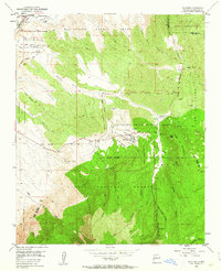
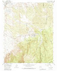
Editions of this 1954 Placitas Map
4 editions found
Other maps of this area

1888 · Bernalillo
USGS Topo · 1:125,000

1889 · Albuquerque
USGS Topo · 1:125,000

1892 · San Pedro
USGS Topo · 1:125,000

1893 · Albuquerque
USGS Topo · 1:125,000

1934 · Alameda
USGS Topo · 1:24,000

1938 · Albuquerque
USGS Topo · 1:62,500

1954 · Sandia Crest
USGS Topo · 1:24,000

1954 · Alameda
USGS Topo · 1:24,000

1954 · San Felipe Pueblo
USGS Topo · 1:24,000

1954 · Placitas
USGS Topo · 1:24,000