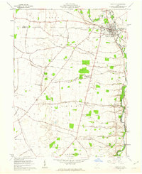
1961 Map of Plain City
USGS Topo · Published 1962About this map
Big Darby Creek and Little Darby Creek define the drainage of this central Ohio agricultural landscape, where the Pennsylvania railroad cuts through the village of Plain City. The 1961 survey captures the transition of the era, noting a small Landing Strip and modern Filtration Beds alongside deep-rooted local landmarks. Notable family names appear on numerous rural roads, including Boyd Road, Kaufman Road, and Sweeney Road, reflecting a landscape of established farmsteads and rural schoolhouses like the Canaan Sch.
Find a feature on this map
60 named features on this map. Tap any name to fly to it.
Don’t see what you’re looking for? This feature index may not catch every label — zoom into the map to look around manually.
Map Details
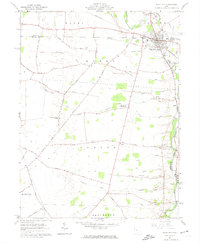
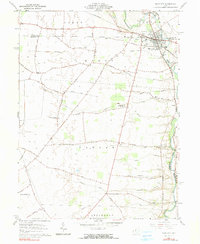
Editions of this 1961 Plain City Map
3 editions found
Other maps of this area

1901 · Dublin
USGS Topo · 1:62,500

1903 · Dublin
USGS Topo · 1:62,500

1907 · London
USGS Topo · 1:62,500

1916 · Milford Center
USGS Topo · 1:62,500

1923 · West Columbus
USGS Topo · 1:62,500

1925 · West Columbus
USGS Topo · 1:62,500

1944 · Milford Center
USGS Topo · 1:62,500

1947 · Columbus
USGS Topo · 1:250,000

1950 · Marion
USGS Topo · 1:250,000
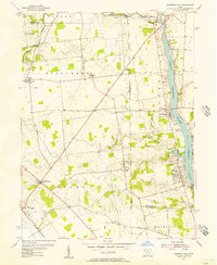
1954 · Shawnee Hills
USGS Topo · 1:24,000