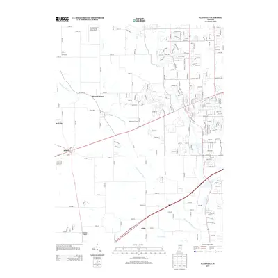
2013 Map of Plainfield
USGS Topo · Published 2013About this map
Hendricks County Airport-Gordon Graham Field anchors the northern portion of this central Indiana landscape, where suburban expansion meets long-standing agricultural crossroads. The drainage patterns of White Lick Cr and its tributaries, including Cosner Br and Abner Cr, dictate the historic positioning of small communities like Magnetic Springs and Cartersburg. This 2013 survey illustrates the dense residential street networks pushing west toward Belleville and North Belleville, contrasting with the more open terrain found further south near Joppa and Center Valley. The map detail captures the intersection of established county roads like Co RD-100 and Co RD-200 with the modern sprawl of the Plainfield area, including recreational spaces like the Oaktree Golf Course. This specific era shows the transition of rural Hendricks County into a more integrated part of the greater Indianapolis metropolitan fringe.
Find a feature on this map
230 named features on this map. Tap any name to fly to it.
Don’t see what you’re looking for? This feature index may not catch every label — zoom into the map to look around manually.
Map Details
Editions of this 2013 Plainfield Map
This is the sole edition of this map. No revisions or reprints were ever made.
Other maps of this area

1953 · Bridgeport
USGS Topo · 1:24,000

1953 · Clayton
USGS Topo · 1:24,000

1953 · Danville
USGS Topo · 1:24,000

1953 · Brownsburg
USGS Topo · 1:24,000

1953 · Plainfield
USGS Topo · 1:24,000

1953 · Clermont
USGS Topo · 1:24,000

1953 · Indianapolis
USGS Topo · 1:250,000

1955 · Hall
USGS Topo · 1:24,000

1955 · Mooresville West
USGS Topo · 1:24,000

1955 · Mooresville East
USGS Topo · 1:24,000