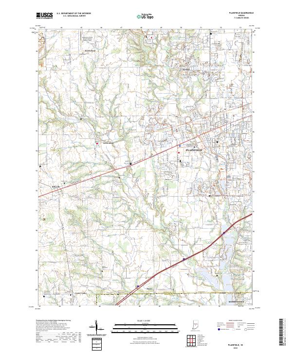
2022 Map of Plainfield
USGS Topo · Published 2022About this map
Plainfield and its surrounding townships define this Central Indiana landscape, where the suburban expansion of Avon meets the established rural grids of Hendricks Co and Morgan Co. The corridor is anchored by the historic Old National Rd, while modern infrastructure is represented by the Hendricks County Airport-Gordon Graham Field and the recreational conversion of former transit lines into the Vandalia Rail-Trl.
Find a feature on this map
66 named features on this map. Tap any name to fly to it.
Don’t see what you’re looking for? This feature index may not catch every label — zoom into the map to look around manually.
Map Details
Editions of this 2022 Plainfield Map
This is the sole edition of this map. No revisions or reprints were ever made.
Other maps of this area

1953 · Bridgeport
USGS Topo · 1:24,000

1953 · Clayton
USGS Topo · 1:24,000

1953 · Danville
USGS Topo · 1:24,000

1953 · Brownsburg
USGS Topo · 1:24,000

1953 · Plainfield
USGS Topo · 1:24,000

1953 · Clermont
USGS Topo · 1:24,000

1953 · Indianapolis
USGS Topo · 1:250,000

1955 · Hall
USGS Topo · 1:24,000

1955 · Mooresville West
USGS Topo · 1:24,000

1955 · Mooresville East
USGS Topo · 1:24,000