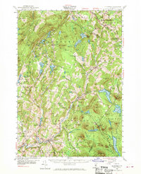
1953 Map of Plainfield
USGS Topo · Published 1970About this map
The Winooski River and Kingsbury Br carve through these Vermont hills, anchoring a mid-century landscape of small villages and hard-won industry. Settlement patterns are defined by clusters like Marshfield, Cabot, and Plainfield, the latter serving as the home for Goddard College. The map documents a rural economy transitioning from early extractive work to modern residence; while Granite Quarries and various gravel pits like Sodom Pit dot the terrain, the prominence of institutions like the Old West Ch and numerous district schools, including the Pekin Sch and King Sch, point to long-standing community foundations. Transportation is well-established by this era, with Walden Sta and Marshfield Sta marking the path of rail travel through the valleys. Water remains a central feature of the topography, from the expansive Mollys Falls Reservoir and Peacham Pond to the smaller, family-named waters like Walton Pd and Curtis Pond.
Find a feature on this map
135 named features on this map. Tap any name to fly to it.
Don’t see what you’re looking for? This feature index may not catch every label — zoom into the map to look around manually.
Map Details
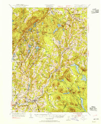
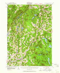
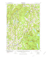
Editions of this 1953 Plainfield Map
4 editions found
Other maps of this area

1919 · Montpelier
USGS Topo · 1:62,500

1921 · Montpelier
USGS Topo · 1:62,500

1922 · Barre
USGS Topo · 1:48,000

1924 · Barre
USGS Topo · 1:62,500

1927 · Hyde Park
USGS Topo · 1:48,000

1928 · Hardwick
USGS Topo · 1:62,500

1930 · Hyde Park
USGS Topo · 1:62,500

1931 · Woodsville
USGS Topo · 1:48,000

1934 · Hardwick
USGS Topo · 1:48,000

1935 · Woodsville
USGS Topo · 1:62,500