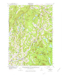
1953 Map of Plainfield
USGS Topo · Published 1977About this map
The Winooski River and the Montpelier and Wells River Railroad define the industrial and transit corridor through this mid-century Vermont landscape. From the campus of Goddard College in Plainfield to the Granite Quarries of Woodbury, the map illustrates a region balanced between upland agriculture and natural resource extraction. The northern reach is crossed by the Hazen Road, a critical Revolutionary War-era military route that influenced early settlement patterns in Walden and Hardwick.
Find a feature on this map
135 named features on this map. Tap any name to fly to it.
Don’t see what you’re looking for? This feature index may not catch every label — zoom into the map to look around manually.
Map Details
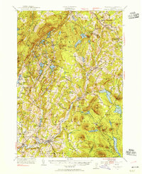
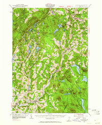
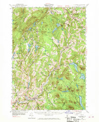
Editions of this 1953 Plainfield Map
4 editions found
Other maps of this area

1919 · Montpelier
USGS Topo · 1:62,500

1921 · Montpelier
USGS Topo · 1:62,500

1922 · Barre
USGS Topo · 1:48,000

1924 · Barre
USGS Topo · 1:62,500

1927 · Hyde Park
USGS Topo · 1:48,000

1928 · Hardwick
USGS Topo · 1:62,500

1930 · Hyde Park
USGS Topo · 1:62,500

1931 · Woodsville
USGS Topo · 1:48,000

1934 · Hardwick
USGS Topo · 1:48,000

1935 · Woodsville
USGS Topo · 1:62,500