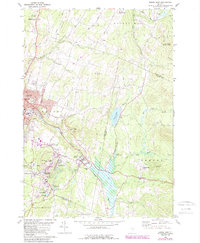
1981 Map of Barre East
USGS Topo · Published 1988About this map
Barre Granite Quarries dominate the central landscape of this Washington County survey, reflecting the deep-rooted industrial heritage of the world's premier granite-producing region. The heavy concentration of extraction sites around Websterville, Graniteville, and Upper Graniteville underscores the area's economic focus during the late 20th century. Logistics for this industry are visible via the Barre and Chelsea rail lines that thread between the hills and pits. Beyond the quarries, the landscape transitions into the residential and civic heart of Barre, where local institutions like Spaulding High Sch and St Sylvester church are noted. The eastern half of the map reveals a more rural character, defined by the Jail Branch waterway, the L R Jones State Forest, and the Thurman W Dix Reservoir, which together illustrate the balance between intensive natural resource extraction and protected woodland environments.
Find a feature on this map
66 named features on this map. Tap any name to fly to it.
Don’t see what you’re looking for? This feature index may not catch every label — zoom into the map to look around manually.
Map Details
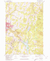
Editions of this 1981 Barre East Map
2 editions found
Other maps of this area

1919 · Montpelier
USGS Topo · 1:62,500

1921 · Montpelier
USGS Topo · 1:62,500

1922 · Barre
USGS Topo · 1:48,000

1924 · Barre
USGS Topo · 1:62,500

1939 · Plainfield
USGS Topo · 1:48,000

1940 · Plainfield
USGS Topo · 1:62,500

1943 · Plainfield
USGS Topo · 1:62,500

1944 · Montpelier
USGS Topo · 1:62,500

1947 · Corinth
USGS Topo · 1:62,500

1948 · East Barre
USGS Topo · 1:62,500