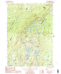
1986 Map of Woodbury
USGS Topo · Published 1987About this map
Glacial ponds and dense granite Quarries define this mid-1980s landscape at the intersection of Washington, Lamoille, and Caledonia counties. The area is characterized by a high concentration of water bodies, including the sprawling Greenwood Lake and the smaller Mirror Lake, which sit amidst the elevations of Woodbury Mtn and Foster Hill. Settlement is concentrated along the central north-south corridor through Woodbury, South Woodbury, and North Calais, with many of the local roads following the drainage of the Kingsbury Branch. This era shows the preservation of the forest character through established zones like the Putnam State Forest and the Buck Lake Wildlife Management Area. Genealogists and local historians can find specific community nodes like Maple Corner, while the presence of numerous quarries east of the main villages points to the region's long-standing stone industry.
Find a feature on this map
55 named features on this map. Tap any name to fly to it.
Don’t see what you’re looking for? This feature index may not catch every label — zoom into the map to look around manually.
Map Details
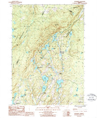
Editions of this 1986 Woodbury Map
2 editions found
Other maps of this area

1919 · Montpelier
USGS Topo · 1:62,500

1921 · Montpelier
USGS Topo · 1:62,500

1927 · Hyde Park
USGS Topo · 1:48,000

1928 · Hardwick
USGS Topo · 1:62,500

1930 · Hyde Park
USGS Topo · 1:62,500

1934 · Hardwick
USGS Topo · 1:48,000

1938 · Hardwick
USGS Topo · 1:62,500

1939 · Plainfield
USGS Topo · 1:48,000

1940 · Plainfield
USGS Topo · 1:62,500

1943 · Plainfield
USGS Topo · 1:62,500