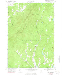
1968 Map of Mount Worcester
USGS Topo · Published 1983About this map
The Worcester Mountains dominate this central Vermont landscape, providing a high-elevation backdrop to the small settlements and water bodies that define the region. Much of the western terrain is preserved within the Putnam State Forest, where the peak of Mount Worcester rises above the timberline. The settlement of Worcester sits in the valley of the North Branch, acting as a hub for the various brook-fed basins nearby. Toward the eastern edge, the topography levels into Hardwood Flats and the clusters of small lakes like Hardwood Pond, Hawkins Pond, and Curtis Pond.
Find a feature on this map
32 named features on this map. Tap any name to fly to it.
Don’t see what you’re looking for? This feature index may not catch every label — zoom into the map to look around manually.
Map Details
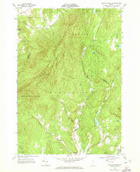
Editions of this 1968 Mount Worcester Map
2 editions found
Other maps of this area

1919 · Montpelier
USGS Topo · 1:62,500

1921 · Montpelier
USGS Topo · 1:62,500

1927 · Hyde Park
USGS Topo · 1:48,000

1928 · Hardwick
USGS Topo · 1:62,500

1930 · Hyde Park
USGS Topo · 1:62,500

1934 · Hardwick
USGS Topo · 1:48,000

1938 · Hardwick
USGS Topo · 1:62,500

1939 · Plainfield
USGS Topo · 1:48,000

1940 · Plainfield
USGS Topo · 1:62,500

1943 · Plainfield
USGS Topo · 1:62,500