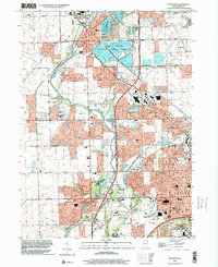
1998 Map of Plainfield
USGS Topo · Published 2002About this map
The Du Page River corridor defines the geography of this late-twentieth-century survey, anchoring a landscape where established agriculture meets rapidly expanding residential developments. The village of Plainfield sits at the northern end of the map, characterized by a mix of historic institutional sites like St Marys Cem and modern ecological spaces such as the Lake Renwick County Forest Preserve. Moving south towards Shorewood and Joliet, the map reveals a transition from open fields and a Gravel Pit to suburban infrastructure, including the Joliet Mall and Jefferson Square Mall.
Find a feature on this map
70 named features on this map. Tap any name to fly to it.
Don’t see what you’re looking for? This feature index may not catch every label — zoom into the map to look around manually.
Map Details
Editions of this 1998 Plainfield Map
This is the sole edition of this map. No revisions or reprints were ever made.
Other maps of this area

1892 · Morris
USGS Topo · 1:62,500

1892 · Joliet
USGS Topo · 1:62,500

1892 · Wilmington
USGS Topo · 1:62,500

1918 · Wilmington
USGS Topo · 1:62,500

1918 · Morris
USGS Topo · 1:62,500

1923 · Joliet
USGS Topo · 1:62,500

1925 · Yorkville
USGS Topo · 1:62,500

1953 · Yorkville SE
USGS Topo · 1:24,000
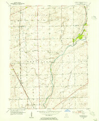
1953 · Normantown
USGS Topo · 1:24,000
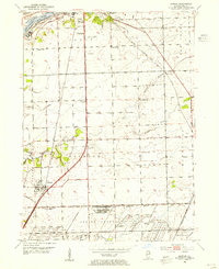
1953 · Elwood
USGS Topo · 1:24,000