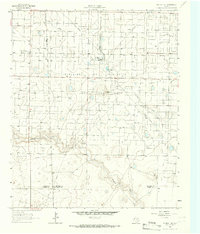
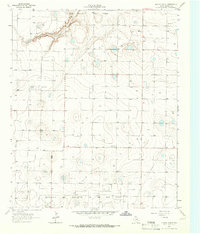
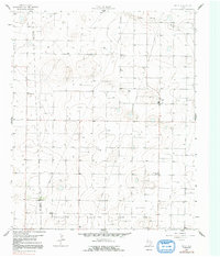
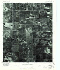
1965 Map of Plains 1 NE
USGS Topo · Published 1966This historical map portrays the area of Plains 1 NE in 1965, primarily covering Hockley County as well as portions of Terry County, Yoakum County, and Cochran County. Featuring a scale of 1:24000, this map provides a highly detailed snapshot of the terrain, roads, buildings, counties, and historical landmarks in the Plains 1 NE region at the time. Published in 1966, it is one of 2 known editions of this map due to revisions or reprints.
Find a feature on this map
12 named features on this map. Tap any name to fly to it.
Don’t see what you’re looking for? This feature index may not catch every label — zoom into the map to look around manually.
Map Details
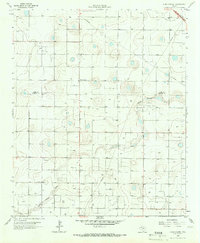
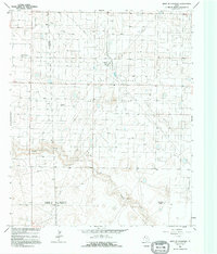
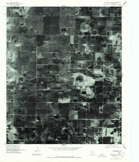
Editions of this 1965 Plains 1 NE Map
2 editions found
Historical Maps of Girlstown USA Through Time
14 maps found
1964 Lums Chapel
Hockley County, TX
1964 Oklahoma Flat
Hockley County, TX
1964 Pep
Hockley County, TX
1965 Hester Ranch
Hockley County, TX
1965 Levelland East
Hockley County, TX
1965 Levelland West
Hockley County, TX
1965 Lockettville
Hockley County, TX
1965 Pettit
Hockley County, TX
1965 West of Sundown
Hockley County, TX
1976 Anton SW
Hockley County, TX
1976 Meadow NW
Hockley County, TX
1976 Wolfforth NW
Hockley County, TX
1976 Wolfforth SW
Hockley County, TX
1985 Wolfforth NW
Hockley County, TX