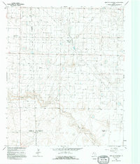
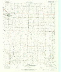
1965 Map of West of Sundown
USGS Topo · Published 1995About this map
Industrial and residential development define this 1960s landscape on the Llano Estacado. The massive Levelland and Slaughter Oil and Gas Field dominates the central terrain, characterized by an extensive grid of extraction infrastructure and a prominent refinery with an adjacent radio tower. These industrial features sit amidst the natural depressions of Lost Draw and Sulphur Draw, which carve shallow paths across the high plains.
Find a feature on this map
12 named features on this map. Tap any name to fly to it.
Don’t see what you’re looking for? This feature index may not catch every label — zoom into the map to look around manually.
Map Details
Editions of this 1965 West of Sundown Map
2 editions found
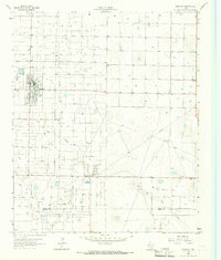
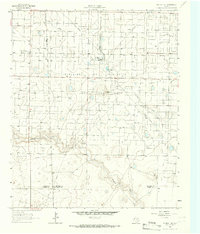
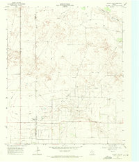
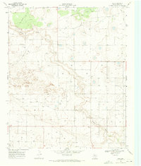
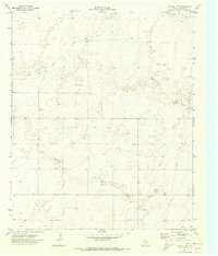
Other maps of this area

1954 · Brownfield
USGS Topo · 1:250,000

1958 · Brownfield
USGS Topo · 1:250,000

1962 · Brownfield
USGS Topo · 1:250,000
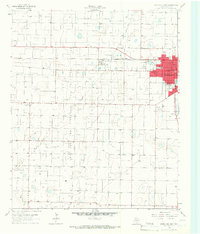
1965 · Levelland West
USGS Topo · 1:24,000
1965 · Sundown
USGS Topo · 1:24,000
1965 · Plains 1 NE
USGS Topo · 1:24,000
1965 · Whiteface
USGS Topo · 1:24,000
1969 · Plains 1 SE
USGS Topo · 1:24,000
1969 · Pool
USGS Topo · 1:24,000
1970 · Plains 1 SW
USGS Topo · 1:24,000