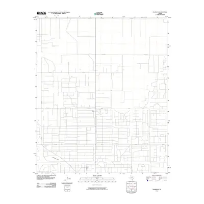
2010 Map of Plains SE
USGS Topo · Published 2010About this map
The Wasson Oil Field dominates this section of Yoakum County, revealing a dense grid of service roads and industrial infrastructure characteristic of the Permian Basin's energy landscape. While much of the terrain is defined by this geometric network of access routes like Hudson Rd and Fm 213, the natural topography is subtly marked by the winding path of McKenzie Draw in the southwest. This ephemeral watercourse provides a sharp contrast to the rigid, engineered lines of the oil field, illustrating the intersection of West Texas geology and the 21st-century petroleum industry. The survey details an extensive system of local thoroughfares, including Dixon Rd and Mc Can Rd, which connect the scattered operations across this high plains environment.
Find a feature on this map
16 named features on this map. Tap any name to fly to it.
Don’t see what you’re looking for? This feature index may not catch every label — zoom into the map to look around manually.
Map Details
Editions of this 2010 Plains SE Map
This is the sole edition of this map. No revisions or reprints were ever made.
Other maps of this area

1954 · Hobbs
USGS Topo · 1:250,000

1954 · Brownfield
USGS Topo · 1:250,000

1958 · Brownfield
USGS Topo · 1:250,000

1958 · Hobbs
USGS Topo · 1:250,000

1962 · Brownfield
USGS Topo · 1:250,000

1970 · Tokio NW
USGS Topo · 1:24,000

1970 · Pleasant Hill
USGS Topo · 1:24,000

1970 · Seagraves NW
USGS Topo · 1:24,000

1971 · Plains NW
USGS Topo · 1:24,000

1971 · Higginbotham
USGS Topo · 1:24,000