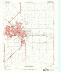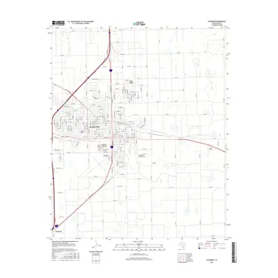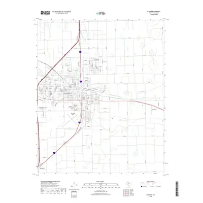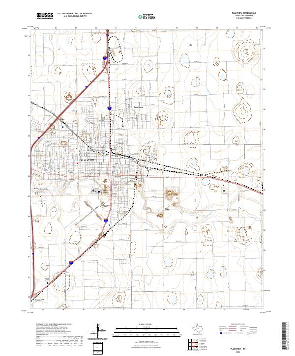
1954 Map of Plainview
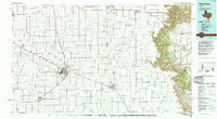
USGS Topo · Published 1976About this map
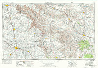
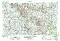
Palo Duro State Park anchors the northwestern corner of this Texas Panhandle landscape, where the dramatic descent into Palo Duro Canyon breaks the flat expanse of the Llano Estacado. The map illustrates a mid-century agricultural and ranching economy centered on hubs like Plainview, Tulia, and Childress. A complex network of intermittent drainages, including Running Water Draw and the Prairie Dog Town Fork Red River, defines the hydrology of this semi-arid region. The infrastructure of the era is dominated by significant rail corridors such as the Atchison Topeka and Santa Fe Ry and the Fort Worth and Denver Ry, which facilitated the movement of cattle and crops from smaller settlements like Vigo Park, Silverton, and Quitaque to larger markets. This survey captures the transition from the high plains down through the breaks of the Caprock toward the Pease River valley.
Find a feature on this map
80 named features on this map. Tap any name to fly to it.
Don’t see what you’re looking for? This feature index may not catch every label — zoom into the map to look around manually.
Map Details
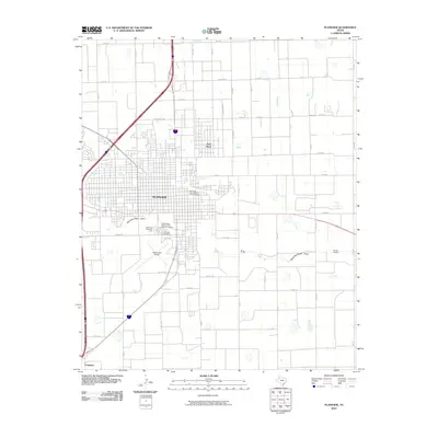
Editions of this 1954 Plainview Map
3 editions found

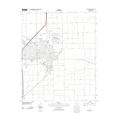
Historical Maps of Plainview Through Time
9 maps found