
1896 Map of Plainville
USGS Topo · Published 1896About this map
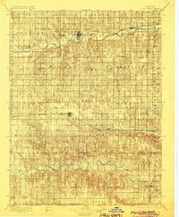
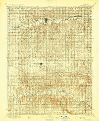
The South Solomon River and Saline River systems dominate this late-19th-century survey of Rooks and Ellis counties. The landscape is defined by the arrival of two major rail lines, with the Union Pacific RR serving the central corridor through Plainville and Zurich, while the Missouri Pacific RR follows the northern river valley through Stockton and Woodston. This infrastructure marks a pivotal era of agricultural expansion across townships like Twin Mound and Corning, where the gridded settlement pattern begins to consolidate. Smaller rural hubs such as Laton, Nyra, and Turkville are visible alongside physical landmarks like High Hill and Sweetwater Canyon. The map provides a detailed view of the early county boundaries and the numerous creek drainages, including Medicine Creek and Paradise Creek, that dictated the placement of these pioneer communities.
Find a feature on this map
58 named features on this map. Tap any name to fly to it.
Don’t see what you’re looking for? This feature index may not catch every label — zoom into the map to look around manually.
Map Details
Editions of this 1896 Plainville Map
3 editions found
Other maps of this area

1893 · Ellis
USGS Topo · 1:125,000

1893 · Smith Center
USGS Topo · 1:125,000

1893 · Norton
USGS Topo · 1:125,000

1893 · Phillipsburg
USGS Topo · 1:125,000

1893 · Hill
USGS Topo · 1:125,000

1896 · Osborne
USGS Topo · 1:125,000

1896 · Russell
USGS Topo · 1:125,000

1896 · Hays
USGS Topo · 1:125,000

1952 · Webster Dam
USGS Topo · 1:24,000

1953 · Woodston NW
USGS Topo · 1:24,000