
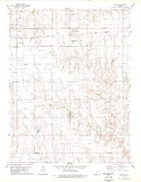
1978 Map of Plainville
USGS Topo · Published 1979About this map
Plainville stands as a significant regional hub in the late 1970s, defined by the industrial presence of the surrounding Oil Field and its position along the Union Pacific railroad. The town's infrastructure is remarkably detailed, featuring a local hospital, Post Office, and a Drive-in Theater near a prominent Water Tank. To the west, the Plainville Twp Lake provides a notable break in the prairie landscape, offering designated picnic areas amidst the active extraction sites.
Find a feature on this map
23 named features on this map. Tap any name to fly to it.
Don’t see what you’re looking for? This feature index may not catch every label — zoom into the map to look around manually.
Map Details
Editions of this 1978 Plainville Map
This is the sole edition of this map. No revisions or reprints were ever made.
Other maps of this area

1896 · Plainville
USGS Topo · 1:125,000

1955 · Beloit
USGS Topo · 1:250,000

1959 · Beloit
USGS Topo · 1:250,000

1969 · Stockton SW
USGS Topo · 1:24,000
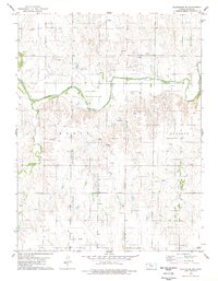
1978 · Plainville SW
USGS Topo · 1:24,000
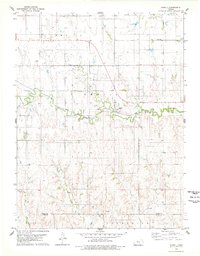
1978 · Codell
USGS Topo · 1:24,000
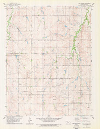
1978 · Twin Mound
USGS Topo · 1:24,000
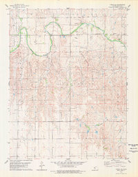
1978 · Turkville
USGS Topo · 1:24,000
1978 · Zurich
USGS Topo · 1:24,000
1978 · Plainville SE
USGS Topo · 1:24,000