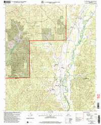
2002 Map of Plantersville
USGS Topo · Published 2003About this map
Talladega National Forest dominates the western landscape of this central Alabama region, where the rugged terrain of the forest meets the alluvial plains of Mulberry Creek. The settlement pattern follows the lower elevations along the eastern corridor, anchored by Plantersville and Stanton. This 2002 revision shows a rural landscape defined by its natural resources and spiritual centers, with several gravel pits and a claypit indicating local industry.
Find a feature on this map
32 named features on this map. Tap any name to fly to it.
Don’t see what you’re looking for? This feature index may not catch every label — zoom into the map to look around manually.
Map Details
Editions of this 2002 Plantersville Map
This is the sole edition of this map. No revisions or reprints were ever made.
Other maps of this area

1891 · Clanton
USGS Topo · 1:125,000

1953 · Montgomery
USGS Topo · 1:250,000

1956 · Montgomery
USGS Topo · 1:250,000

1957 · Montgomery
USGS Topo · 1:250,000

1959 · Plantersville
USGS Topo · 1:62,500

1959 · Summerfield
USGS Topo · 1:62,500
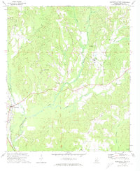
1971 · Maplesville East
USGS Topo · 1:24,000

1971 · Maplesville West
USGS Topo · 1:24,000

1975 · Plantersville SE
USGS Topo · 1:24,000
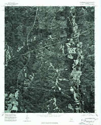
1975 · Plantersville SW
USGS Topo · 1:24,000