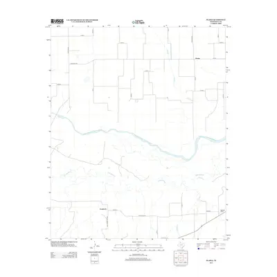
2013 Map of Plaska
USGS Topo · Published 2013About this map
Prairie Dog Town Fork Red River meanders across the Texas Panhandle in this portion of Hall County, defining a landscape shaped by significant drainage systems. The water network is central to this area, where the Little Red River and Oaks Cr converge toward the larger river basin. Small rural hubs like Plaska and Weatherly anchor the grid of local ranch roads, including Ranch Road 1041 and Farm-To-Market Road 567. The geography is further marked by Buzzard Draw and Bullard Cr, illustrating the transitional terrain between the high plains and the river breaks. This survey illustrates how contemporary ranching and transport routes, such as Ranch Road 2639, continue to follow the natural contours and water access points established by earlier generations of settlers in this part of Texas.
Find a feature on this map
24 named features on this map. Tap any name to fly to it.
Don’t see what you’re looking for? This feature index may not catch every label — zoom into the map to look around manually.
Map Details
Editions of this 2013 Plaska Map
This is the sole edition of this map. No revisions or reprints were ever made.
Other maps of this area

1954 · Plainview
USGS Topo · 1:250,000

1958 · Plainview
USGS Topo · 1:250,000

1960 · Brice
USGS Topo · 1:62,500

1961 · Memphis
USGS Topo · 1:62,500

1967 · Tampico Siding
USGS Topo · 1:24,000

1967 · Badger Nest Tank
USGS Topo · 1:24,000

1967 · Blue Tank Canyon
USGS Topo · 1:24,000

1976 · Brice SE
USGS Topo · 1:24,000

1976 · Memphis NW
USGS Topo · 1:24,000
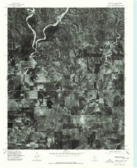
1976 · Brice NE
USGS Topo · 1:24,000