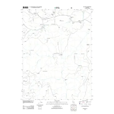
2012 Map of Platina
USGS Topo · Published 2012About this map
Platina stands as the primary settlement in this corner of Shasta County, situated near the confluence of Middle Fork Cottonwood Cr and Platinum Gulch. The landscape is defined by its dramatic relief, where deep ravines like Harrison Gulch and Zerr Gulch cut through high ridges. Ranching footprints are evident at Bland Ranch, Seeliger Ranch, and Moore Ranch, suggesting a legacy of land use that follows the drainage basins of Beegum Cr and Pole Corral Cr.
Find a feature on this map
40 named features on this map. Tap any name to fly to it.
Don’t see what you’re looking for? This feature index may not catch every label — zoom into the map to look around manually.
Map Details
Editions of this 2012 Platina Map
This is the sole edition of this map. No revisions or reprints were ever made.
Other maps of this area

1890 · Red Bluff
USGS Topo · 1:250,000

1894 · Red Bluff
USGS Topo · 1:250,000

1931 · Hoaglin
USGS Topo · 1:96,000

1935 · Hoaglin
USGS Topo · 1:125,000

1951 · Chanchelulla Peak
USGS Topo · 1:62,500

1953 · Blackrock Mtn
USGS Topo · 1:62,500

1954 · Dubakella Mtn
USGS Topo · 1:62,500

1954 · Blackrock Mtn
USGS Topo · 1:62,500

1954 · Yolla Bolly
USGS Topo · 1:62,500

1958 · Redding
USGS Topo · 1:250,000