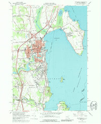
1966 Map of Plattsburgh
USGS Topo · Published 1989About this map
Plattsburgh stands as a hub of Lake Champlain's western shore in the mid-1960s, defined by its strategic military and educational institutions. The extensive footprint of Plattsburgh Air Force Base occupies the southern coastal stretch, while the State University College anchors the city's academic core. The landscape shows a city in transition, where new suburban developments like Champlain Park and Cliff Haven emerge alongside established landmarks. The presence of multiple parochial schools, including St Johns Sch and Notre Dame Sch, reflects the deep social fabric of the community during this era.
Find a feature on this map
64 named features on this map. Tap any name to fly to it.
Don’t see what you’re looking for? This feature index may not catch every label — zoom into the map to look around manually.
Map Details
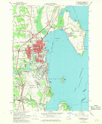
Editions of this 1966 Plattsburgh Map
2 editions found
Other maps of this area

1894 · Plattsburg
USGS Topo · 1:62,500

1895 · Mooers
USGS Topo · 1:62,500

1895 · Rouse Point
USGS Topo · 1:62,500

1899 · Mooers
USGS Topo · 1:62,500

1906 · Plattsburg
USGS Topo · 1:62,500

1907 · Rouse Point
USGS Topo · 1:62,500

1913 · Dannemora
USGS Topo · 1:62,500

1939 · Rouses Point
USGS Topo · 1:62,500

1939 · Plattsburg
USGS Topo · 1:62,500

1941 · Plattsburg
USGS Topo · 1:62,500