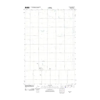
2011 Map of Plaza
USGS Topo · Published 2011About this map
The town of Plaza serves as the central hub for this corner of Mountrail County, organized around a traditional grid of streets and avenues. In the early 21st century, the landscape reflects a structured agricultural community defined by long, straight section-line roads such as County Hwy-3143 and 49th St NW. These corridors connect the small settlement to its outliers and provide access to the numerous small seasonal wetlands and depressions scattered across the prairie. Local heritage and community foundations are anchored by three distinct burial grounds near the town center: First Lutheran Cemetery, East Community Cemetery, and Sacred Heart Cemetery. For those interested in local transportation and aviation history, the presence of Trulson Field just west of the town site offers insight into the practical infrastructure of rural North Dakota life.
Find a feature on this map
32 named features on this map. Tap any name to fly to it.
Don’t see what you’re looking for? This feature index may not catch every label — zoom into the map to look around manually.
Map Details
Editions of this 2011 Plaza Map
This is the sole edition of this map. No revisions or reprints were ever made.
Other maps of this area

1953 · Williston
USGS Topo · 1:250,000

1953 · Watford City
USGS Topo · 1:250,000

1954 · Minot
USGS Topo · 1:250,000

1954 · McClusky
USGS Topo · 1:250,000

1957 · Williston
USGS Topo · 1:250,000

1957 · Watford City
USGS Topo · 1:250,000

1958 · McClusky
USGS Topo · 1:250,000

1958 · Minot
USGS Topo · 1:250,000

1967 · Watford City
USGS Topo · 1:250,000

1980 · Minot
USGS Topo · 1:100,000