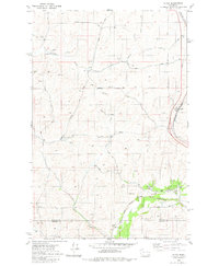
1980 Map of Plaza
USGS Topo · Published 1981About this map
Agricultural operations and rail transport define this landscape near the boundary of Spokane and Whitman Counties. The small settlement of Plaza serves as a focal point along the Burlington Northern line, while the Chicago Milwaukee St Paul and Pacific corridor runs to the south through Pine Creek. This area highlights the infrastructure required for the region's grain economy, featuring a Grain Elevator and various Storage Bins clustered near the rail lines.
Find a feature on this map
29 named features on this map. Tap any name to fly to it.
Don’t see what you’re looking for? This feature index may not catch every label — zoom into the map to look around manually.
Map Details
Editions of this 1980 Plaza Map
This is the sole edition of this map. No revisions or reprints were ever made.
Other maps of this area

1903 · Oakesdale
USGS Topo · 1:125,000

1905 · Oakesdale
USGS Topo · 1:125,000

1954 · Cheney
USGS Topo · 1:62,500

1954 · Spangle
USGS Topo · 1:62,500

1955 · Spokane
USGS Topo · 1:250,000

1958 · Spokane
USGS Topo · 1:250,000

1964 · Malden
USGS Topo · 1:24,000
1964 · Rosalia
USGS Topo · 1:24,000

1964 · Pine City
USGS Topo · 1:24,000
1980 · Spangle West
USGS Topo · 1:24,000