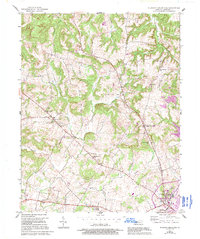
1957 Map of Pleasant Green Hill
USGS Topo · Published 1995About this map
Hopkinsville anchors the southeastern corner of this landscape, where the Jeff Davis Highway cuts through the rolling terrain of Christian County. The map documents a period of significant growth and infrastructure updates, with purple revisions from the late 1980s and early 1990s overlaid on the original 1950s topography. This temporal layering reveals the expansion of the city limits near Allen Grove and the development of facilities like the Jennie Stuart Memorial Hospital and the Radio Tower (WHOP).
Find a feature on this map
33 named features on this map. Tap any name to fly to it.
Don’t see what you’re looking for? This feature index may not catch every label — zoom into the map to look around manually.
Map Details
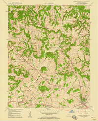
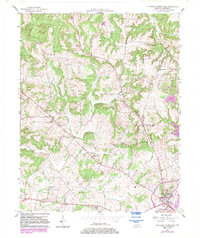
Editions of this 1957 Pleasant Green Hill Map
3 editions found
Other maps of this area

1909 · Dawson Springs
USGS Topo · 1:48,000

1911 · Dawson Springs
USGS Topo · 1:62,500

1912 · Nortonville
USGS Topo · 1:62,500

1950 · Caledonia
USGS Topo · 1:24,000

1951 · Church Hill
USGS Topo · 1:24,000

1951 · Caledonia
USGS Topo · 1:24,000

1951 · Hopkinsville
USGS Topo · 1:24,000

1952 · Pleasant Green Hill
USGS Topo · 1:24,000

1952 · Kelly
USGS Topo · 1:24,000

1952 · Crofton
USGS Topo · 1:24,000