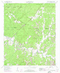
1957 Map of Pleasant Grove
USGS Topo · Published 1974About this map
The winding course of Cedar Creek dominates this landscape along the border of Colbert and Franklin Counties, illustrating a rural community defined by its water and woods in the late 1950s. The map reveals a network of small churches and schools that served as local hubs, including the Posey School and Pleasant Grove Ch. The inclusion of the Cedar Creek Dam and various bridges like Burgess Bridge and Thors Bridge highlights the infrastructure required to navigate this tributary system of the Tennessee Valley.
Find a feature on this map
39 named features on this map. Tap any name to fly to it.
Don’t see what you’re looking for? This feature index may not catch every label — zoom into the map to look around manually.
Map Details
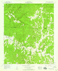
Editions of this 1957 Pleasant Grove Map
3 editions found
Other maps of this area

1925 · Barton
USGS Topo · 1:62,500

1926 · Barton
USGS Topo · 1:48,000

1929 · Barton
USGS Topo · 1:62,500

1935 · Pleasant Site
USGS Topo · 1:24,000

1936 · Frankfort
USGS Topo · 1:24,000

1936 · Pleasant Grove
USGS Topo · 1:24,000

1936 · Isbell
USGS Topo · 1:24,000

1936 · Pride
USGS Topo · 1:24,000
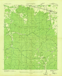
1936 · Barton
USGS Topo · 1:24,000

1936 · Halltown
USGS Topo · 1:24,000