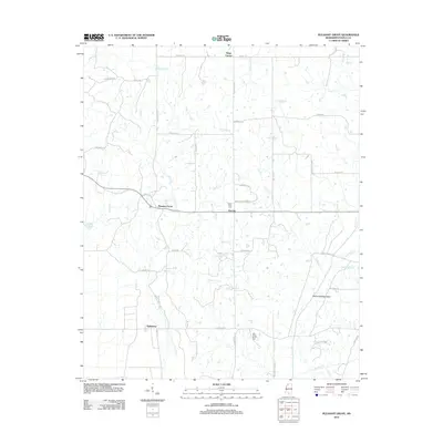
2012 Map of Pleasant Grove
USGS Topo · Published 2012About this map
Pleasant Grove and Horatio anchor this rural Mississippi landscape, situated where the rolling uplands of Panola County transition toward the delta region. The map reveals a community defined by its waterways and small-scale settlements, with Peach Creek and East Floyd Creek draining the territory. Researchers will find several significant local landmarks, including the Peach Creek Cemetery and the Star Place-Shiloh Cemetery, which serve as vital touchstones for genealogical work in the area.
Find a feature on this map
51 named features on this map. Tap any name to fly to it.
Don’t see what you’re looking for? This feature index may not catch every label — zoom into the map to look around manually.
Map Details
Editions of this 2012 Pleasant Grove Map
This is the sole edition of this map. No revisions or reprints were ever made.
Other maps of this area

1932 · Sledge
USGS Topo · 1:48,000

1932 · Crenshaw
USGS Topo · 1:62,500

1935 · Crenshaw
USGS Topo · 1:62,500

1935 · Sledge
USGS Topo · 1:62,500

1939 · Sledge
USGS Topo · 1:62,500

1944 · Senatobia
USGS Topo · 1:62,500

1948 · Helena
USGS Topo · 1:250,000

1950 · Helena
USGS Topo · 1:250,000

1952 · Sardis
USGS Topo · 1:62,500

1953 · Sardis
USGS Topo · 1:62,500