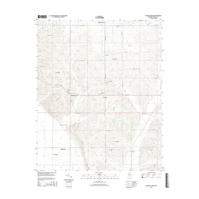
2015 Map of Pleasant Grove
USGS Topo · Published 2015About this map
Pleasant Grove and Horatio anchor this northern Panola County landscape, where the terrain is defined by a dense network of creek drainages flowing toward the Tallahatchie River basin. The geography is characterized by family-named landmarks and rural infrastructure, including Kings Corner and Ballentine to the south. Significant for genealogical research, the map identifies several local burial sites such as Pleasant Grove Cem, Peach Creek Cem, and the Star Place-Shiloh Cem.
Find a feature on this map
47 named features on this map. Tap any name to fly to it.
Don’t see what you’re looking for? This feature index may not catch every label — zoom into the map to look around manually.
Map Details
Editions of this 2015 Pleasant Grove Map
This is the sole edition of this map. No revisions or reprints were ever made.
Other maps of this area

1932 · Sledge
USGS Topo · 1:48,000

1932 · Crenshaw
USGS Topo · 1:62,500

1935 · Crenshaw
USGS Topo · 1:62,500

1935 · Sledge
USGS Topo · 1:62,500

1939 · Sledge
USGS Topo · 1:62,500

1944 · Senatobia
USGS Topo · 1:62,500

1948 · Helena
USGS Topo · 1:250,000

1950 · Helena
USGS Topo · 1:250,000

1952 · Sardis
USGS Topo · 1:62,500

1953 · Sardis
USGS Topo · 1:62,500