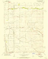
1953 Map of Pleasant Grove
USGS Topo · Published 1954About this map
The agricultural plains at the border of Sutter and Placer counties are defined here by a network of seasonal watercourses and straight-line section roads in the early 1950s. The settlement of Pleasant Grove sits at the junction of Pleasant Grove Road and Howsley Road, serving as a central hub for the surrounding ranchlands. Further south, the map details the community of Riego and the nearby Alpha Sch, indicating the established rural community structure of the era.
Find a feature on this map
24 named features on this map. Tap any name to fly to it.
Don’t see what you’re looking for? This feature index may not catch every label — zoom into the map to look around manually.
Map Details
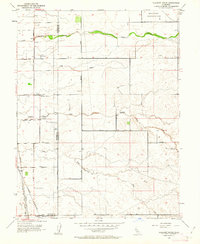
Editions of this 1953 Pleasant Grove Map
2 editions found
Other maps of this area

1891 · Sacramento
USGS Topo · 1:125,000

1892 · Sacramento
USGS Topo · 1:125,000

1893 · Sacramento
USGS Topo · 1:125,000

1902 · Fairoaks
USGS Topo · 1:62,500

1907 · Davisville
USGS Topo · 1:62,500

1910 · Sheridan
USGS Topo · 1:31,680

1910 · Lincoln
USGS Topo · 1:31,680

1910 · Roseville
USGS Topo · 1:31,680

1910 · Vernon
USGS Topo · 1:31,680

1910 · Nicolaus
USGS Topo · 1:31,680