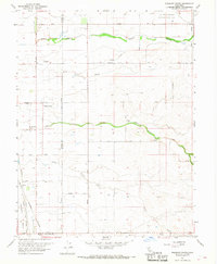
1967 Map of Pleasant Grove
USGS Topo · Published 1968About this map
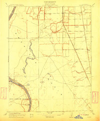
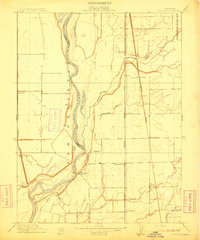
Pleasant Grove and the surrounding agricultural lands of Placer and Sutter Counties are defined by a network of drainage sloughs and creeks in this mid-century survey. The landscape is marked by the Auburn Ravine to the north and Curry Creek to the south, illustrating the hydraulic complexity of the Central Valley. Transportation and communication infrastructure are prominent, including the Western Pacific and Sacramento Northern railroads, alongside distinctive landmarks like the Radio Towers (KFBK).
Find a feature on this map
27 named features on this map. Tap any name to fly to it.
Don’t see what you’re looking for? This feature index may not catch every label — zoom into the map to look around manually.
Map Details
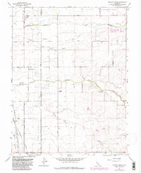
Editions of this 1967 Pleasant Grove Map
2 editions found
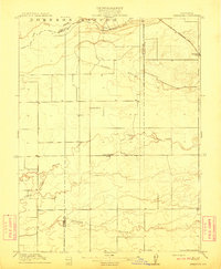
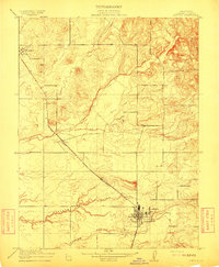
Other maps of this area

1891 · Sacramento
USGS Topo · 1:125,000

1892 · Sacramento
USGS Topo · 1:125,000

1893 · Sacramento
USGS Topo · 1:125,000

1902 · Fairoaks
USGS Topo · 1:62,500

1907 · Davisville
USGS Topo · 1:62,500
1910 · Sheridan
USGS Topo · 1:31,680
1910 · Lincoln
USGS Topo · 1:31,680

1910 · Roseville
USGS Topo · 1:31,680
1910 · Vernon
USGS Topo · 1:31,680
1910 · Nicolaus
USGS Topo · 1:31,680