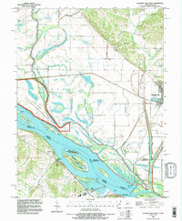
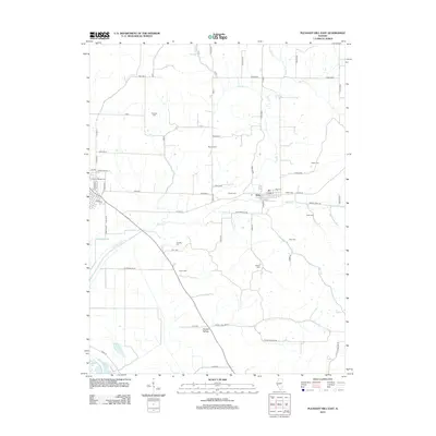
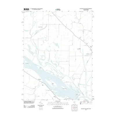
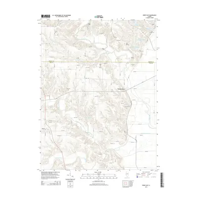
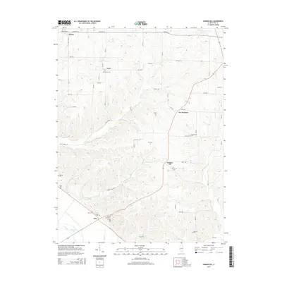
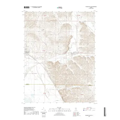
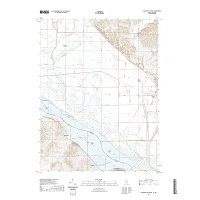
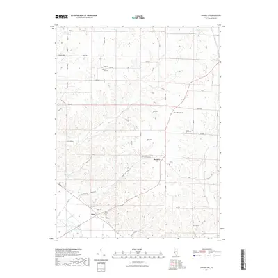
1978 Map of Pleasant Hill West
USGS Topo · Published 1978About this map
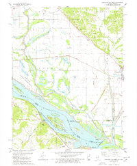
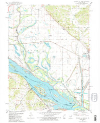
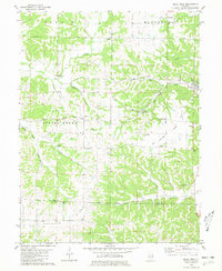
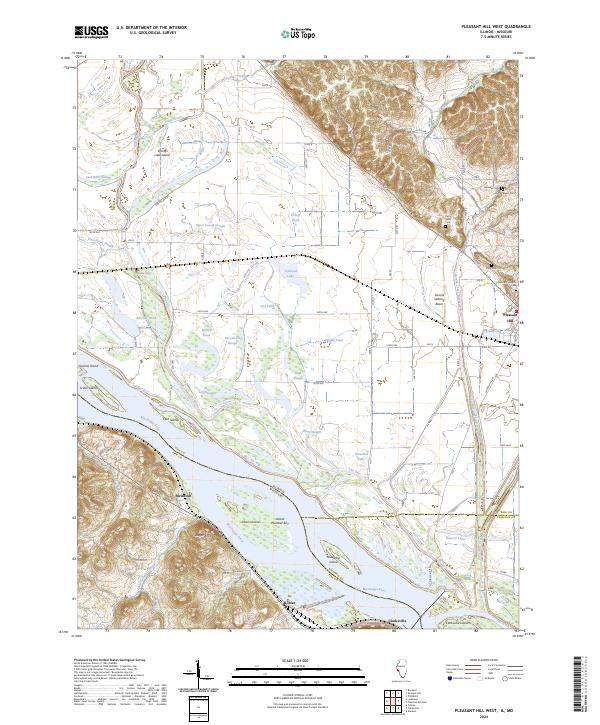
The Mississippi River dominates this mid-1970s landscape, carving a complex network of backwaters and side channels along the Illinois-Missouri border. The river valley is a mosaic of conservation and industrial utility, featuring the Mark Twain National Wildlife Refuge and the Clarksville State Game Refuge alongside significant transport infrastructure like the Illinois Central Gulf railroad. On the Illinois side, the town of Pleasant Hill sits near the base of the bluffs, while the river bottoms are filled with uniquely named features such as Cocklebur Slough, Towhead Lake, and Horseshoe Lake.
Find a feature on this map
66 named features on this map. Tap any name to fly to it.
Don’t see what you’re looking for? This feature index may not catch every label — zoom into the map to look around manually.
Map Details
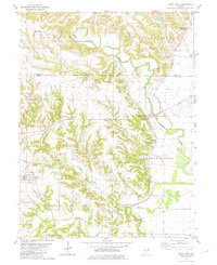
Editions of this 1978 Pleasant Hill West Map
2 editions found
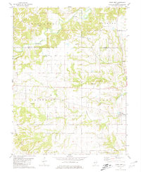
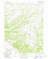
Historical Maps of Pleasant Hill Through Time
38 maps found
1975 Pittsfield SE
Pike County, IL
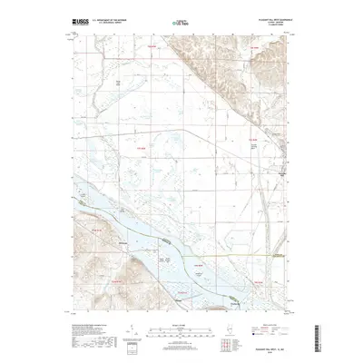
1978 Pleasant Hill East
Pike County, IL
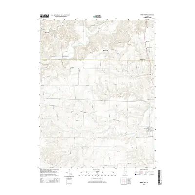
1978 Pleasant Hill West
Pike County, IL
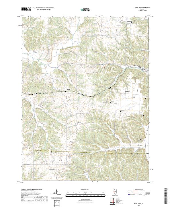
1980 Pearl West
Pike County, IL
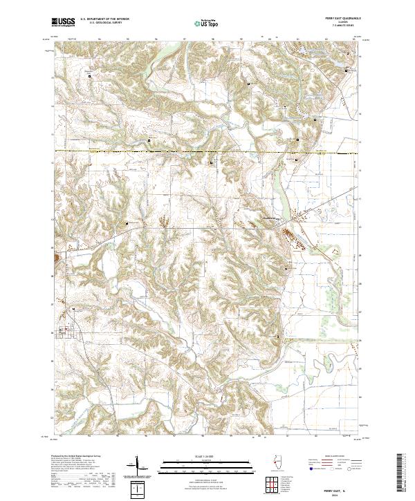
1980 Perry East
Pike County, IL
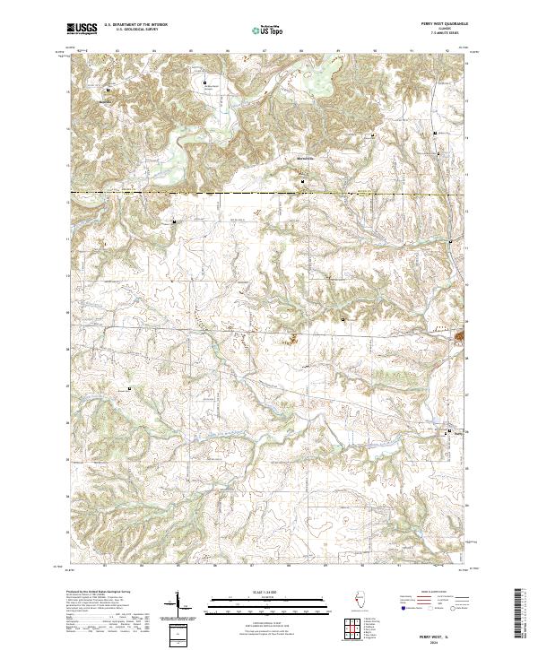
1981 Perry West
Pike County, IL
1981 Summer Hill
Pike County, IL
1993 Pleasant Hill West
Pike County, IL
2012 Pearl West
Pike County, IL
2012 Perry East
Pike County, IL
2012 Perry West
Pike County, IL
2012 Pleasant Hill East
Pike County, IL
2012 Pleasant Hill West
Pike County, IL
2012 Summer Hill
Pike County, IL
2015 Pearl West
Pike County, IL
2015 Perry East
Pike County, IL
2015 Perry West
Pike County, IL
2015 Pleasant Hill East
Pike County, IL
2015 Pleasant Hill West
Pike County, IL
2015 Summer Hill
Pike County, IL
2018 Pearl West
Pike County, IL
2018 Perry East
Pike County, IL
2018 Perry West
Pike County, IL
2018 Pleasant Hill East
Pike County, IL
2018 Pleasant Hill West
Pike County, IL
2018 Summer Hill
Pike County, IL
2021 Pearl West
Pike County, IL
2021 Perry East
Pike County, IL
2021 Perry West
Pike County, IL
2021 Pleasant Hill East
Pike County, IL
2021 Pleasant Hill West
Pike County, IL
2021 Summer Hill
Pike County, IL
2024 Pearl West
Pike County, IL
2024 Perry East
Pike County, IL
2024 Perry West
Pike County, IL
2024 Pleasant Hill East
Pike County, IL
2024 Pleasant Hill West
Pike County, IL
2024 Summer Hill
Pike County, IL