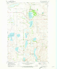
1971 Map of Pleasant Lake
USGS Topo · Published 1973About this map
Pleasant Lake sits at the heart of this North Dakota landscape, straddling the county line between Pierce and Benson Counties. The small community of the same name is positioned along the Burlington Northern railroad, which cuts east-to-west through a terrain characterized by numerous glacial depressions and wetlands. The geography is defined by an extensive network of conservation lands, including the Pleasant Lake National Wildlife Refuge and the Long Lake National Wildlife Refuge, protecting diverse water bodies such as Broken Bone Lake and Horseshoe Lake.
Find a feature on this map
18 named features on this map. Tap any name to fly to it.
Don’t see what you’re looking for? This feature index may not catch every label — zoom into the map to look around manually.
Map Details
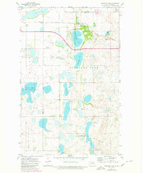
Editions of this 1971 Pleasant Lake Map
2 editions found
Other maps of this area

1953 · Devils Lake
USGS Topo · 1:250,000

1954 · Rugby NW
USGS Topo · 1:24,000

1955 · Rugby
USGS Topo · 1:24,000

1956 · Devils Lake
USGS Topo · 1:250,000

1958 · Fillmore
USGS Topo · 1:24,000
1958 · Silva
USGS Topo · 1:24,000

1958 · Baker
USGS Topo · 1:24,000

1971 · Wolford
USGS Topo · 1:24,000

1971 · Knox
USGS Topo · 1:24,000

1971 · Rugby NE
USGS Topo · 1:24,000