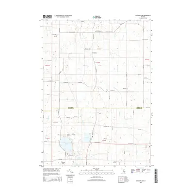
2014 Map of Pleasant Lake
USGS Topo · Published 2014About this map
Bunker Hill and Fitchburg anchor this rural landscape along the Ingham Co Jackson Co line. The map highlights a high density of burial grounds, including Saint Cornelius and Cyprian's Catholic Cem and Felt Plains Cem, offering significant value for genealogical research in this portion of Michigan. The southern half of the sheet is defined by a cluster of water bodies including Pleasant Lake, Batteese Lake, and Mud Lake, connected by drainage networks like Batteese Cr and Pleasant Lake Drain. The township grid is well-defined by legacy routes such as Base Line Rd, Meridian Rd, and Catholic Church Rd. This documentation preserves the character of the area's agricultural and recreational spaces, from the Pleasant Lake Campground to the small creeks and drains that cross the landscape.
Find a feature on this map
66 named features on this map. Tap any name to fly to it.
Don’t see what you’re looking for? This feature index may not catch every label — zoom into the map to look around manually.
Map Details
Editions of this 2014 Pleasant Lake Map
This is the sole edition of this map. No revisions or reprints were ever made.
Other maps of this area

1908 · Fowlerville
USGS Topo · 1:62,500

1909 · Mason
USGS Topo · 1:62,500

1910 · Fowlerville
USGS Topo · 1:62,500

1911 · Mason
USGS Topo · 1:62,500

1919 · Stockbridge
USGS Topo · 1:62,500

1919 · Rives Junction
USGS Topo · 1:62,500

1921 · Rives Junction
USGS Topo · 1:62,500

1922 · Stockbridge
USGS Topo · 1:62,500

1942 · Stockbridge
USGS Topo · 1:62,500

1958 · Grand Rapids
USGS Topo · 1:250,000