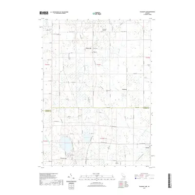
2019 Map of Pleasant Lake
USGS Topo · Published 2019About this map
The boundary of Ingham and Jackson Counties divides this landscape of wetlands and small rural settlements. Bunker Hill and Fitchburg stand as quiet nodes within the northern townships, where the terrain is defined by the winding paths of Batteese Creek and Cahaogan Creek. To the south, the namesake Pleasant Lake serves as a focal point for the community of the same name, while the village of Munith sits near the southeastern corner. This area maintains a strong connection to its pioneer roots, evidenced by numerous burial grounds such as Felt Plains Cemetery and Saint Cornelius and Cyprian's Catholic Cemetery. The southern reaches are characterized by recreational corridors like Lakelands Trail State Park, which follows the path of an older transportation route, and the wetlands surrounding Batteese Lake.
Find a feature on this map
80 named features on this map. Tap any name to fly to it.
Don’t see what you’re looking for? This feature index may not catch every label — zoom into the map to look around manually.
Map Details
Editions of this 2019 Pleasant Lake Map
This is the sole edition of this map. No revisions or reprints were ever made.
Other maps of this area

1908 · Fowlerville
USGS Topo · 1:62,500

1909 · Mason
USGS Topo · 1:62,500

1910 · Fowlerville
USGS Topo · 1:62,500

1911 · Mason
USGS Topo · 1:62,500

1919 · Stockbridge
USGS Topo · 1:62,500

1919 · Rives Junction
USGS Topo · 1:62,500

1921 · Rives Junction
USGS Topo · 1:62,500

1922 · Stockbridge
USGS Topo · 1:62,500

1942 · Stockbridge
USGS Topo · 1:62,500

1958 · Grand Rapids
USGS Topo · 1:250,000