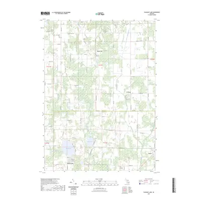
2023 Map of Pleasant Lake
USGS Topo · Published 2023About this map
The agricultural and wetlands corridor straddling the Ingham and Jackson County line comes into sharp focus through this modern survey. Small, historic settlements like Bunker Hill and Fitchburg anchor the northern half of the landscape, while the southern portion is defined by the recreational and residential clusters around Pleasant Lake and the marshy expanses of Batteese Lake. The terrain is characterized by a dense network of watercourses, including Batteese Creek, Cahogan Creek, and the Shaw Branch, which weave between family-named roads and rural farmsteads.
Find a feature on this map
59 named features on this map. Tap any name to fly to it.
Don’t see what you’re looking for? This feature index may not catch every label — zoom into the map to look around manually.
Map Details
Editions of this 2023 Pleasant Lake Map
This is the sole edition of this map. No revisions or reprints were ever made.
Other maps of this area

1908 · Fowlerville
USGS Topo · 1:62,500

1909 · Mason
USGS Topo · 1:62,500

1910 · Fowlerville
USGS Topo · 1:62,500

1911 · Mason
USGS Topo · 1:62,500

1919 · Stockbridge
USGS Topo · 1:62,500

1919 · Rives Junction
USGS Topo · 1:62,500

1921 · Rives Junction
USGS Topo · 1:62,500

1922 · Stockbridge
USGS Topo · 1:62,500

1942 · Stockbridge
USGS Topo · 1:62,500

1958 · Grand Rapids
USGS Topo · 1:250,000
Featured Places
- Bunker Hill Township, MI
- Henrietta Township, MI
- Leslie Township, MI
- Stockbridge Township, MI
- Pleasant Lake, MI