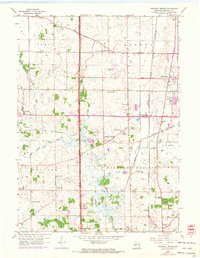
1958 Map of Pleasant Prairie
USGS Topo · Published 1972About this map
The Des Plaines River and Root River anchor this mid-century look at the rural landscape of Kenosha County, where agricultural townships were just beginning to feel the reach of suburban expansion. Centered on the community of Pleasant Prairie, the map reveals a network of country schoolhouses that once served local farm families, including Hazel Dell Sch, Star Harmony Sch, and Bullamore Forks Sch. Large-scale infrastructure is also prominent, with the Kenosha Airport and the heavy rail corridors of the Chicago and North Western and the Chicago Milwaukee St Paul and Pacific intersecting at Truesdell. A notable detail for local historians is the Old Railroad Grade cutting across the central terrain, marking the path of a discarded route. This 1958 survey, updated with 1971 aerial observations, captures a moment when traditional landmarks like Wesley Ch and numerous small burial grounds such as Vafe Cem still defined the township's character.
Find a feature on this map
31 named features on this map. Tap any name to fly to it.
Don’t see what you’re looking for? This feature index may not catch every label — zoom into the map to look around manually.
Map Details
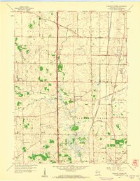
Editions of this 1958 Pleasant Prairie Map
2 editions found
Other maps of this area

1892 · Racine
USGS Topo · 1:62,500

1893 · Silver Lake
USGS Topo · 1:62,500

1905 · Racine
USGS Topo · 1:62,500

1906 · Silver Lake
USGS Topo · 1:62,500

1906 · Waukegan
USGS Topo · 1:62,500

1908 · Waukegan
USGS Topo · 1:62,500

1920 · Grays Lake
USGS Topo · 1:62,500

1923 · Grays Lake
USGS Topo · 1:62,500

1954 · Rockford
USGS Topo · 1:250,000

1955 · Rockford
USGS Topo · 1:250,000