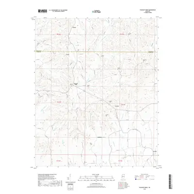
2018 Map of Pleasant Ridge
USGS Topo · Published 2018About this map
The Hatchie River and its numerous tributaries, including Hatchie Br and Owens Br, define the drainage patterns across this portion of northern Mississippi. The landscape is marked by a series of distinct elevations such as Sapling Mtn, Sweden Hill, and Pea Ridge, which separate the various creek valleys. Small rural settlements are scattered throughout the quadrangle, with Dumas in the north and Jericho in the southeast acting as local landmarks along the county road network.
Find a feature on this map
101 named features on this map. Tap any name to fly to it.
Don’t see what you’re looking for? This feature index may not catch every label — zoom into the map to look around manually.
Map Details
Editions of this 2018 Pleasant Ridge Map
This is the sole edition of this map. No revisions or reprints were ever made.
Other maps of this area

1921 · Booneville
USGS Topo · 1:48,000

1921 · Tupelo
USGS Topo · 1:48,000

1922 · Booneville
USGS Topo · 1:62,500

1923 · Tupelo
USGS Topo · 1:62,500

1955 · Ripley
USGS Topo · 1:62,500

1955 · Sherman
USGS Topo · 1:62,500

1956 · Tupelo
USGS Topo · 1:250,000

1958 · Tupelo
USGS Topo · 1:250,000

1972 · Jumpertown
USGS Topo · 1:24,000

1973 · Guntown
USGS Topo · 1:24,000