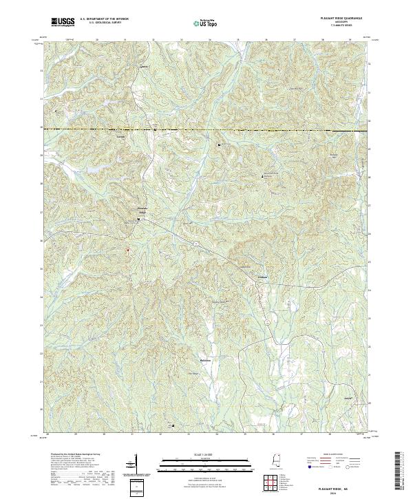
2024 Map of Pleasant Ridge
USGS Topo · Published 2024About this map
Dumas and Locum sit along the northern border of this landscape, where the headwaters of the Hatchie River begin to carve through the uplands. The terrain is defined by a series of prominent rises including Sapling Mountain and the Tippah Hills, which overlook a network of watercourses like Sawmill Creek and Little Dry Creek. This 2024 survey documents a predominantly rural region of Union and Tippah counties, where small communities such as Halltown and Jericho remain anchored by long-standing landmarks.
Find a feature on this map
103 named features on this map. Tap any name to fly to it.
Don’t see what you’re looking for? This feature index may not catch every label — zoom into the map to look around manually.
Map Details
Editions of this 2024 Pleasant Ridge Map
This is the sole edition of this map. No revisions or reprints were ever made.
Other maps of this area

1921 · Booneville
USGS Topo · 1:48,000

1921 · Tupelo
USGS Topo · 1:48,000

1922 · Booneville
USGS Topo · 1:62,500

1923 · Tupelo
USGS Topo · 1:62,500

1955 · Ripley
USGS Topo · 1:62,500

1955 · Sherman
USGS Topo · 1:62,500

1956 · Tupelo
USGS Topo · 1:250,000

1958 · Tupelo
USGS Topo · 1:250,000

1972 · Jumpertown
USGS Topo · 1:24,000

1973 · Guntown
USGS Topo · 1:24,000