
1957 Map of Pleasant View
USGS Topo · Published 1958About this map
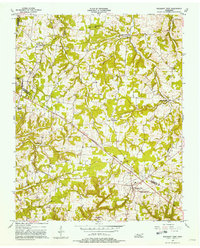
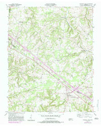
The boundary between Robertson and Cheatham counties bisects this mid-century landscape, capturing a network of small farming communities and country crossroads. At the heart of the region sits Pleasant View, serving as a central hub for the surrounding settlements of Gause, Stroudville, and Turnersville. The terrain is defined by a dense drainage pattern where Half Pone Creek, Honey Run Creek, and Millers Creek carve through the land, dictating the placement of early roads and homesteads.
Find a feature on this map
23 named features on this map. Tap any name to fly to it.
Don’t see what you’re looking for? This feature index may not catch every label — zoom into the map to look around manually.
Map Details
Editions of this 1957 Pleasant View Map
3 editions found
Other maps of this area

1903 · Nashville
USGS Topo · 1:125,000

1931 · Ridgetop
USGS Topo · 1:62,500

1935 · Ridgetop
USGS Topo · 1:62,500

1952 · Springfield North
USGS Topo · 1:24,000

1955 · Forest Grove
USGS Topo · 1:24,000

1956 · Nashville
USGS Topo · 1:250,000

1957 · Cheatham Dam
USGS Topo · 1:24,000

1957 · Adams
USGS Topo · 1:24,000

1957 · Henrietta
USGS Topo · 1:24,000

1957 · Ashland City
USGS Topo · 1:24,000