
1906 Map of Pleasanton
USGS Topo · Published 1906About this map
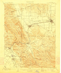
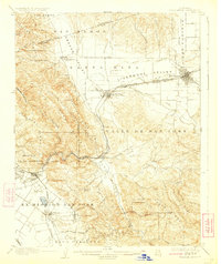
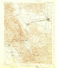
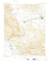
The Livermore Valley and the Valle de San Jose anchor this early twentieth-century study of the East Bay interior. The landscape is defined by the convergence of several major watercourses, including Arroyo de la Laguna and Arroyo del Valle, which join near the established settlements of Pleasanton and Livermore. The mapping highlights the infrastructure of the Southern Pacific and the Niles and Sacramento Line, illustrating how rail connectivity drove the growth of agricultural hubs and post offices like Dougherty P O.
Find a feature on this map
65 named features on this map. Tap any name to fly to it.
Don’t see what you’re looking for? This feature index may not catch every label — zoom into the map to look around manually.
Map Details
Editions of this 1906 Pleasanton Map
5 editions found
Other maps of this area

1889 · San Jose
USGS Topo · 1:62,500

1896 · Mt. Diablo
USGS Topo · 1:62,500

1897 · San Jose
USGS Topo · 1:62,500

1897 · Mt. Hamilton
USGS Topo · 1:62,500

1897 · Concord
USGS Topo · 1:62,500

1897 · Palo Alto
USGS Topo · 1:62,500

1898 · Mt. Diablo
USGS Topo · 1:62,500

1899 · San Jose
USGS Topo · 1:62,500

1899 · Palo Alto
USGS Topo · 1:62,500

1899 · Haywards
USGS Topo · 1:62,500