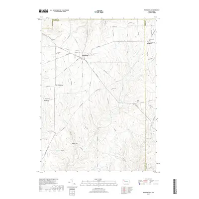
2019 Map of Pleasantville
USGS Topo · Published 2019About this map
Pithole City sits at the southern reach of this Venango County survey, marking a terrain defined by deep creek valleys and high ridges. The landscape is carved by Pithole Creek and its many tributaries, including W Pithole Cr and Allender Run, which create the steep relief characteristic of the region. This 2019 data reflects a legacy of nineteenth-century oil boom settlements, where Pleasantville remains a central hub connected to smaller locales like Neilltown, Shamburg, and East Shamburg.
Find a feature on this map
81 named features on this map. Tap any name to fly to it.
Don’t see what you’re looking for? This feature index may not catch every label — zoom into the map to look around manually.
Map Details
Editions of this 2019 Pleasantville Map
This is the sole edition of this map. No revisions or reprints were ever made.
Other maps of this area

1922 · Oil City
USGS Topo · 1:48,000

1922 · Tionesta
USGS Topo · 1:62,500

1924 · Oil City
USGS Topo · 1:62,500

1924 · Tionesta
USGS Topo · 1:62,500

1927 · Tidioute
USGS Topo · 1:48,000

1927 · Titusville
USGS Topo · 1:62,500

1930 · Tidioute
USGS Topo · 1:62,500

1933 · Titusville
USGS Topo · 1:62,500

1943 · Oil City
USGS Topo · 1:62,500

1946 · Tionesta
USGS Topo · 1:62,500
Featured Places
- Pleasantville, PA
- President Township, PA
- Allegheny Township, PA
- Morrison Corners, Oil Creek Township
- East Shamburg, Oil Creek Township