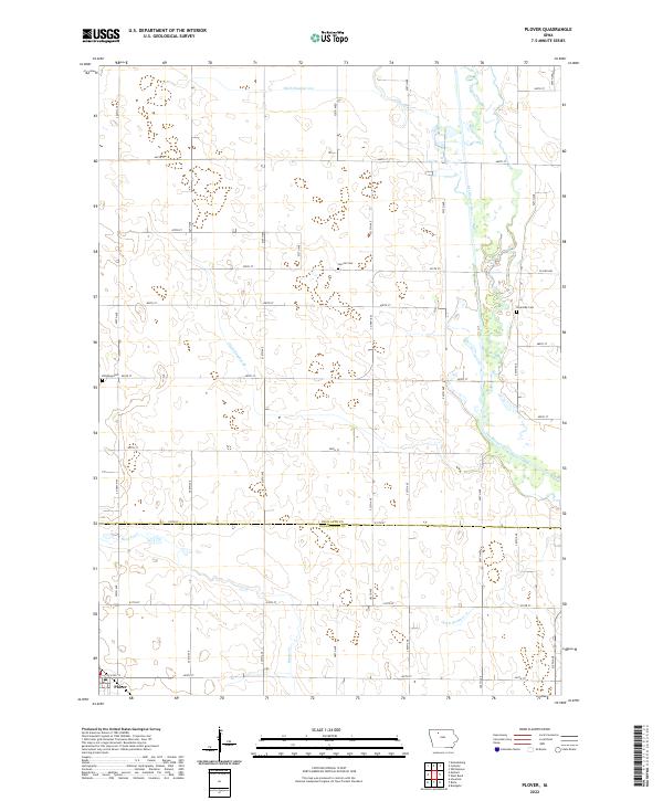
2022 Map of Plover
USGS Topo · Published 2022About this map
The town of Plover sits in the southwestern corner of this survey, marking a pocket of settlement at the boundary of t93n r32w and t93n r31w. This prairie landscape is defined by its agricultural geometry and a sophisticated network of drainage infrastructure, including Ditch Number 123, Ditch Number 48, and Ditch Number 17. These engineered waterways crisscross the land, supporting the region's productivity by managing the flow toward the Des Moines River, which meanders through the eastern portion of the quadrangle.
Find a feature on this map
31 named features on this map. Tap any name to fly to it.
Don’t see what you’re looking for? This feature index may not catch every label — zoom into the map to look around manually.
Map Details
Editions of this 2022 Plover Map
This is the sole edition of this map. No revisions or reprints were ever made.
Other maps of this area

1954 · Fairmont
USGS Topo · 1:250,000

1954 · Fort Dodge
USGS Topo · 1:250,000

1957 · Fort Dodge
USGS Topo · 1:250,000

1958 · Fort Dodge
USGS Topo · 1:250,000

1958 · Fairmont
USGS Topo · 1:250,000

1980 · Rolfe
USGS Topo · 1:24,000

1980 · Havelock
USGS Topo · 1:24,000
1980 · Mallard
USGS Topo · 1:24,000

1980 · Plover
USGS Topo · 1:24,000
1980 · Emmetsburg
USGS Topo · 1:24,000