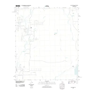
2010 Map of Plum Grove
USGS Topo · Published 2010About this map
The settlement of Plum Grove and the intricate riparian systems of the Texas Gulf Coast dominate this landscape at the start of the 21st century. The East Fork San Jacinto River winds through the western portion of the sheet, fed by numerous tributaries such as Cow Branch, Cordy Branch, and Lick Branch. This region exhibits a clear pattern of rural residential development along corridors like FM 2090 and FM 1010, while large stretches remain dedicated to hydrology and woodland management.
Find a feature on this map
35 named features on this map. Tap any name to fly to it.
Don’t see what you’re looking for? This feature index may not catch every label — zoom into the map to look around manually.
Map Details
Editions of this 2010 Plum Grove Map
This is the sole edition of this map. No revisions or reprints were ever made.
Other maps of this area

1916 · Moonshine Hill
USGS Topo · 1:24,000

1916 · Huffman
USGS Topo · 1:24,000

1920 · Moonshine Hill
USGS Topo · 1:31,680

1920 · Huffman
USGS Topo · 1:31,680

1943 · Liberty
USGS Topo · 1:125,000

1954 · Beaumont
USGS Topo · 1:250,000

1955 · Rayburn
USGS Topo · 1:62,500

1955 · Liberty
USGS Topo · 1:62,500

1957 · Beaumont
USGS Topo · 1:250,000

1958 · Fostoria
USGS Topo · 1:24,000