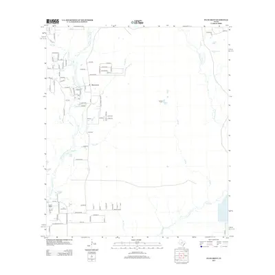
2013 Map of Plum Grove
USGS Topo · Published 2013About this map
Plum Grove and the residential community of Casey Ridge sit amidst a complex network of waterways in Liberty and Montgomery Counties. The E Fork San Jacinto River winds through the western portion of the terrain, joined by numerous tributaries such as Cow Br, Lick Br, and Rocky Br. This 2013 survey illustrates the area's transition from rural timberland to increasing residential development, marked by numerous county roads like Co RD 3431 and newer neighborhood streets such as Brittany Way.
Find a feature on this map
92 named features on this map. Tap any name to fly to it.
Don’t see what you’re looking for? This feature index may not catch every label — zoom into the map to look around manually.
Map Details
Editions of this 2013 Plum Grove Map
This is the sole edition of this map. No revisions or reprints were ever made.
Other maps of this area

1916 · Moonshine Hill
USGS Topo · 1:24,000

1916 · Huffman
USGS Topo · 1:24,000

1920 · Moonshine Hill
USGS Topo · 1:31,680

1920 · Huffman
USGS Topo · 1:31,680

1943 · Liberty
USGS Topo · 1:125,000

1954 · Beaumont
USGS Topo · 1:250,000

1955 · Rayburn
USGS Topo · 1:62,500

1955 · Liberty
USGS Topo · 1:62,500

1957 · Beaumont
USGS Topo · 1:250,000

1958 · Fostoria
USGS Topo · 1:24,000