
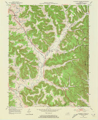
1951 Map of Plummers Landing
USGS Topo · Published 1953About this map
Plummers Landing and the surrounding mill towns of Fleming and Rowan counties are centered here during the early 1950s. The landscape is defined by the winding course of Fox Creek and the long, high plateau of Maxey Flats in the southern portion of the quadrangle. This era shows a distributed rural society organized around small community centers and industrial sites such as Plummers Mill, Muses Mills, and Ringos Mills.
Find a feature on this map
61 named features on this map. Tap any name to fly to it.
Don’t see what you’re looking for? This feature index may not catch every label — zoom into the map to look around manually.
Map Details
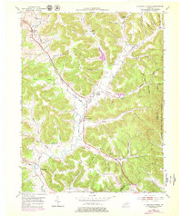
Editions of this 1951 Plummers Landing Map
Other maps of this area

1929 · Morehead
USGS Topo · 1:48,000

1929 · Salt Lick
USGS Topo · 1:62,500

1934 · Salt Lick
USGS Topo · 1:62,500

1935 · Morehead
USGS Topo · 1:62,500

1951 · Cranston
USGS Topo · 1:24,000

1951 · Hillsboro
USGS Topo · 1:24,000

1951 · Stricklett
USGS Topo · 1:24,000

1951 · Burtonville
USGS Topo · 1:24,000

1951 · Flemingsburg
USGS Topo · 1:24,000

1953 · Farmers
USGS Topo · 1:24,000