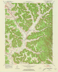
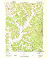
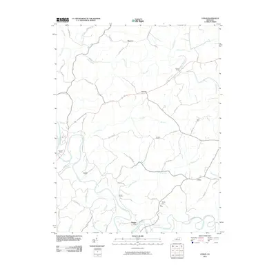
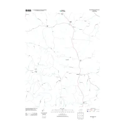
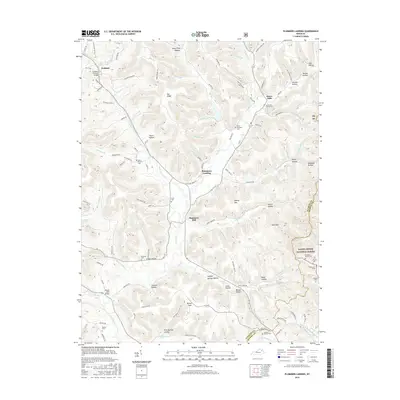
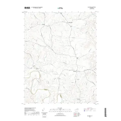
1951 Map of Plummers Landing
USGS Topo · Published 1973About this map
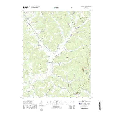
Plummers Landing and the neighboring milling hamlets of Plummers Mill and Ringos Mills define the cultural landscape of Fleming County in the early 1950s. The topography is dominated by the deeply dissected plateaus of Pea Ridge and Maxey Flats, where family-named hollows and branches drain into Fox Creek and Sand Lick Creek. Small rural institutions, including Big Run Sch and Daulton Sch, are scattered along the ridgelines and creek bottoms, serving isolated farmsteads. The eastern edge of the quadrangle marks the boundary of the Cumberland National Forest, while the northern portion features Goddard and its associated Goddard Ch. This map documents a traditional agricultural economy before modern infrastructure altered the creek-side settlements, preserving the locations of numerous family burial grounds like Hedger Cem and Skinner Cem.
Find a feature on this map
67 named features on this map. Tap any name to fly to it.
Don’t see what you’re looking for? This feature index may not catch every label — zoom into the map to look around manually.
Map Details
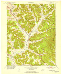
Editions of this 1951 Plummers Landing Map
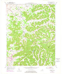
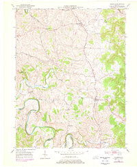
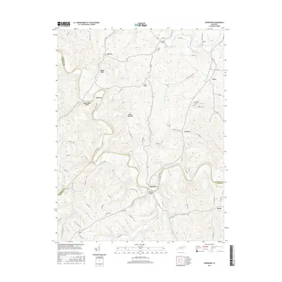
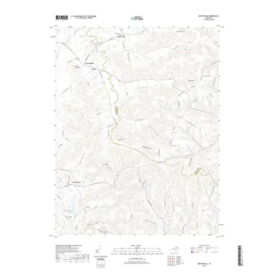
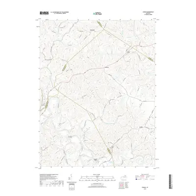
Historical Maps of Plummers Mill Through Time
30 maps found
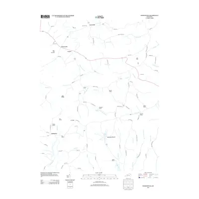
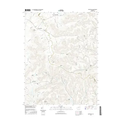
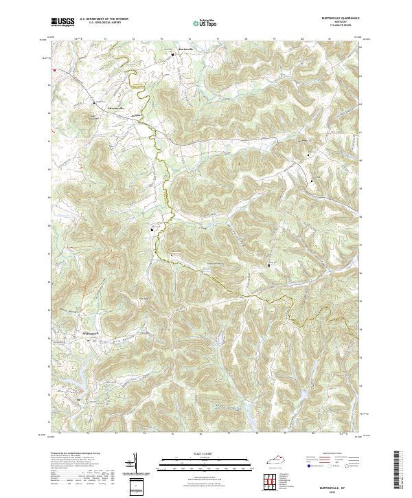
1951 Burtonville
Fleming County, KY
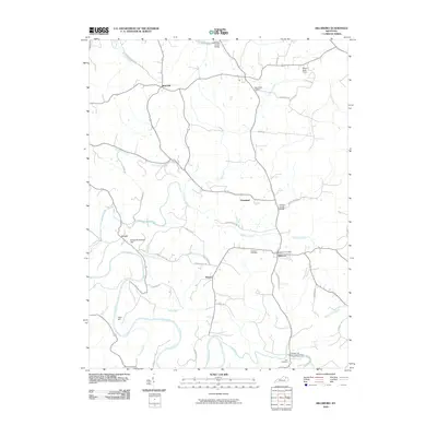
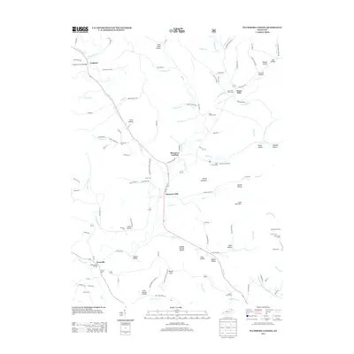
1951 Hillsboro
Fleming County, KY
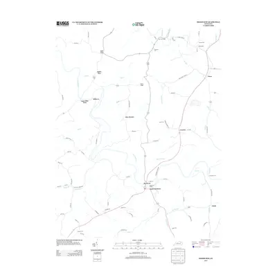
1951 Plummers Landing
Fleming County, KY
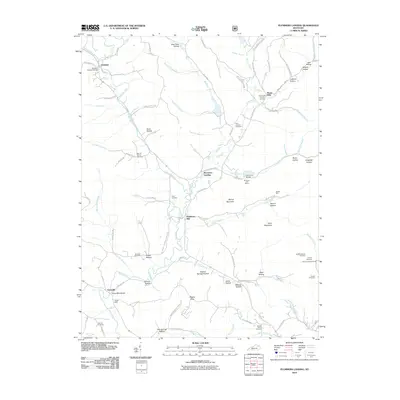
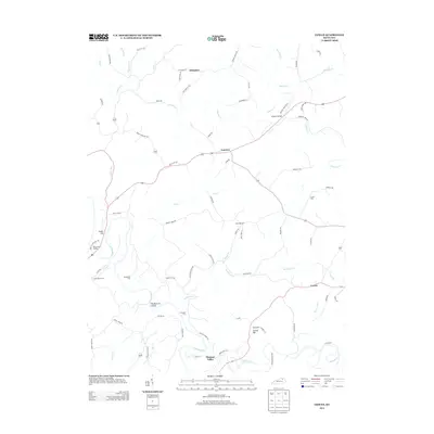
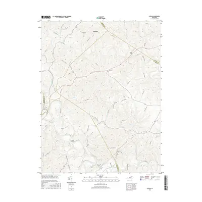
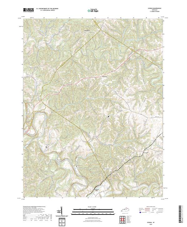
1952 Cowan
Fleming County, KY
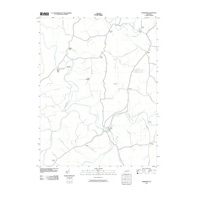
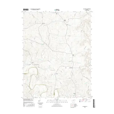
1952 Sherburne
Fleming County, KY
2010 Burtonville
Fleming County, KY
2010 Cowan
Fleming County, KY
2010 Hillsboro
Fleming County, KY
2010 Plummers Landing
Fleming County, KY
2010 Sherburne
Fleming County, KY
2013 Burtonville
Fleming County, KY
2013 Cowan
Fleming County, KY
2013 Hillsboro
Fleming County, KY
2013 Plummers Landing
Fleming County, KY
2013 Sherburne
Fleming County, KY
2016 Burtonville
Fleming County, KY
2016 Cowan
Fleming County, KY
2016 Hillsboro
Fleming County, KY
2016 Plummers Landing
Fleming County, KY
2016 Sherburne
Fleming County, KY
2019 Burtonville
Fleming County, KY
2019 Cowan
Fleming County, KY
2019 Hillsboro
Fleming County, KY
2019 Plummers Landing
Fleming County, KY

2019 Sherburne
Fleming County, KY
2022 Burtonville
Fleming County, KY
2022 Cowan
Fleming County, KY
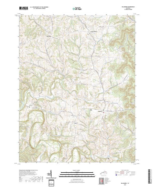
2022 Hillsboro
Fleming County, KY
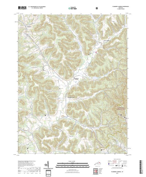
2022 Plummers Landing
Fleming County, KY
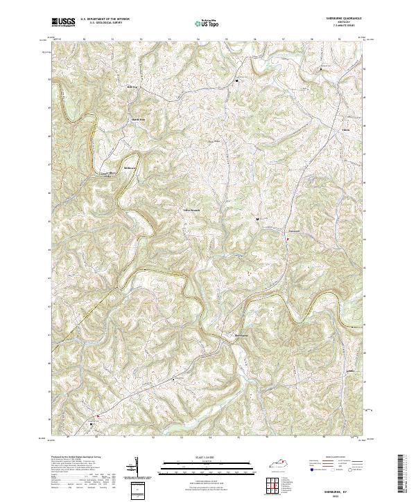
2022 Sherburne
Fleming County, KY