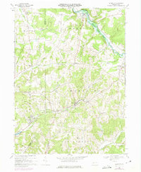
1968 Map of Plumville
USGS Topo · Published 1975About this map
Plumville and the surrounding townships of West Mahoning and South Mahoning sit at a geographic crossroads defined by the Armstrong and Indiana county line. In the late 1960s, this landscape reflected a legacy of resource extraction and local industry, with a Strip Mine and a Tipple near Sagamore indicating the area's coal-producing heritage. An Old Railroad Grade and numerous Jeep Trails snake through the hills, marking the transit routes of a previous generation.
Find a feature on this map
46 named features on this map. Tap any name to fly to it.
Don’t see what you’re looking for? This feature index may not catch every label — zoom into the map to look around manually.
Map Details
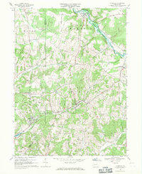
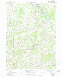
Editions of this 1968 Plumville Map
Other maps of this area

1901 · Rural Valley
USGS Topo · 1:62,500

1902 · Indiana
USGS Topo · 1:62,500

1902 · Elders Ridge
USGS Topo · 1:62,500

1903 · Rural Valley
USGS Topo · 1:62,500

1904 · Elders Ridge
USGS Topo · 1:62,500

1909 · Smicksburg
USGS Topo · 1:62,500

1938 · Smicksburg
USGS Topo · 1:62,500

1939 · Smicksburg
USGS Topo · 1:62,500

1953 · Pittsburgh
USGS Topo · 1:250,000

1954 · Pittsburgh
USGS Topo · 1:250,000