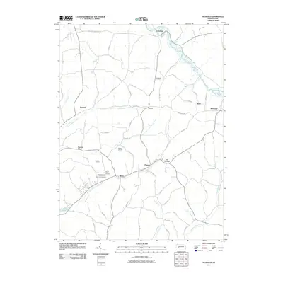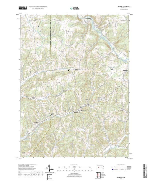
1968 Map of Plumville
USGS Topo · Published 1983About this map
Little Mahoning Creek Lake and the winding waters of Cowanshannock Creek define this rural landscape on the border of Armstrong and Indiana counties. The area is characterized by a dense network of natural gas infrastructure, with numerous Gas Wells and pipelines scattered across the townships of West Mahoning, South Mahoning, and Wayne. In the south, the industrial legacy of the region is evident near Sagamore, where the Old Railroad Grade and Sagamore Reservoirs sit near active extraction sites like the Strip Mine and Tipple Mine on Sugar Camp Run. Local heritage is anchored by several rural congregations and their burial grounds, including SS Peter and Paul Cem and Sacred Heart Cem near Beyer. The map also captures smaller communities such as Plumville, Smicksburg, and Atwood, reflecting a settlement pattern tied to the creek valleys and the early extractive economy.
Find a feature on this map
44 named features on this map. Tap any name to fly to it.
Don’t see what you’re looking for? This feature index may not catch every label — zoom into the map to look around manually.
Map Details
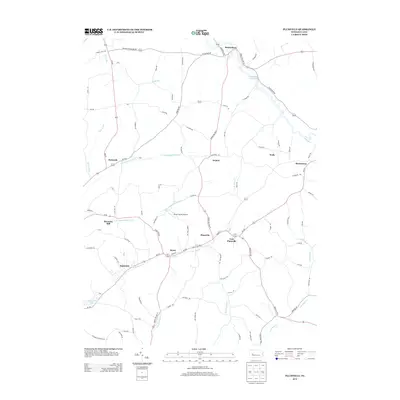
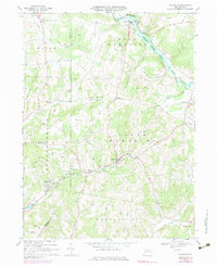
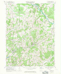
Editions of this 1968 Plumville Map
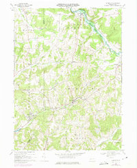
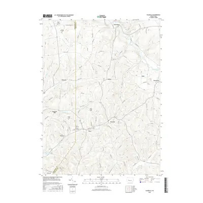
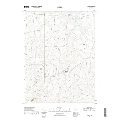
Historical Maps of Rayne Township Through Time
6 maps found