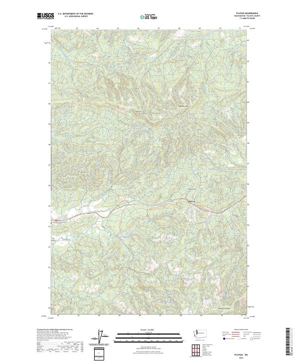
2023 Map of Pluvius
USGS Topo · Published 2023About this map
Pluvius and Elk Prairie center this Pacific County landscape, where the headwaters of the Willapa River carve through the high ridges of southwest Washington. The map traces the historic transportation corridor through the hills, now marked by the Willapa Hills State Park Trail and roads like Walville Rd. Genealogists and local historians will find the Holy Family Catholic Cem near the western edge of the quadrangle, a significant landmark in this sparsely settled timber and river country.
Find a feature on this map
35 named features on this map. Tap any name to fly to it.
Don’t see what you’re looking for? This feature index may not catch every label — zoom into the map to look around manually.
Map Details
Editions of this 2023 Pluvius Map
This is the sole edition of this map. No revisions or reprints were ever made.
Other maps of this area

1940 · Brookfield
USGS Topo · 1:62,500

1941 · Walville
USGS Topo · 1:62,500

1941 · Skamokawa
USGS Topo · 1:62,500

1953 · Hoquiam
USGS Topo · 1:250,000

1953 · Skamokawa
USGS Topo · 1:62,500

1953 · Pe Ell
USGS Topo · 1:62,500

1955 · Grays River
USGS Topo · 1:62,500

1955 · Raymond
USGS Topo · 1:62,500

1957 · Hoquiam
USGS Topo · 1:250,000

1958 · Hoquiam
USGS Topo · 1:250,000