1986 Map of Pluvius
USGS Topo · Published 1986About this map
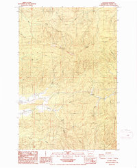
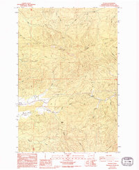
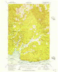
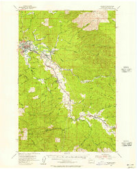
Willapa River drainage systems define the rugged character of this Pacific County landscape in the mid-1980s. The settlement of Frances and the nearby Prairie mark a rare stretch of level ground in an otherwise timber-dominated terrain. High points like Walville Peak and Pluvius Hill overlook a dense network of watercourses, including Fern Creek, Salmon Creek, and McCormick Creek.
Find a feature on this map
32 named features on this map. Tap any name to fly to it.
Don’t see what you’re looking for? This feature index may not catch every label — zoom into the map to look around manually.
Map Details
Editions of this 1986 Pluvius Map
2 editions found
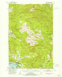
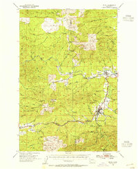
Other maps of this area

1940 · Brookfield
USGS Topo · 1:62,500

1941 · Walville
USGS Topo · 1:62,500

1941 · Skamokawa
USGS Topo · 1:62,500

1953 · Hoquiam
USGS Topo · 1:250,000
1953 · Skamokawa
USGS Topo · 1:62,500
1953 · Pe Ell
USGS Topo · 1:62,500
1955 · Grays River
USGS Topo · 1:62,500
1955 · Raymond
USGS Topo · 1:62,500

1957 · Hoquiam
USGS Topo · 1:250,000

1958 · Hoquiam
USGS Topo · 1:250,000